GarbettPlateau.
A plateau in the sky. Come walk it with me.
Ten kilometres from Diksal village up to Garbett Point — past Dhom Dam, the old Mango Tree, paddy fields at Sagachiwadi, then a steep push onto the plateau for a full 360° of the Sahyadris. Drops into Matheran on a forest trail.
Pick a Saturday. Register on WhatsApp.
Tap any date to open a pre-filled message. Group caps small to keep the trail experience honest.
The trail, in eleven frames.
Landmarks in the order you'll meet them — from trailhead to forest exit, plus stills and a clip from the ridge.
 01 / 11KM 1.8
 02 / 11KM 2.2
 03 / 11KM 3.4
 04 / 11KM 4.2
 05 / 11KM 4.6
 06 / 11KM 6.0
 07 / 11KM 6.8
 08 / 11KM 7.5
 09 / 11KM 8.0
 10 / 11KM 9.8
From a Karjat-line platform to a wide green plateau, in seven landmarks.
Start at Bhivpuri Road station, walk into Diksal village, circle Dhom Dam to its waterfall. A small stream brings us to the old Mango Tree — the trail's first proper landmark. From there the path rises to Sagachiwadi, climbs steeply onto Garbett Plateau, then a short push to Garbett Point itself. We exit on a narrow forest trail that drops us into Matheran near Aman Lodge.
Six in the morning, back by sundown.
Times are indicative — pace adjusts to the group and the weather. The schedule below tracks a steady moderate group on a clear-ish day.
Catch the fast at Kurla
Karjat or Khopoli bound. The same train works for boarding at Dadar, Ghatkopar, Thane, Dombivli, and Kalyan. Sleep on the ride — it's the last bit of rest before the day starts moving.
Bhivpuri Road · meet point
Exit east of the station. Vada-pav and chai breakfast at the stalls on the Karjat–Murbad road. Quick route brief, headcount, and a check that everyone is carrying water before we move.
Walk to Diksal · Dhom Dam
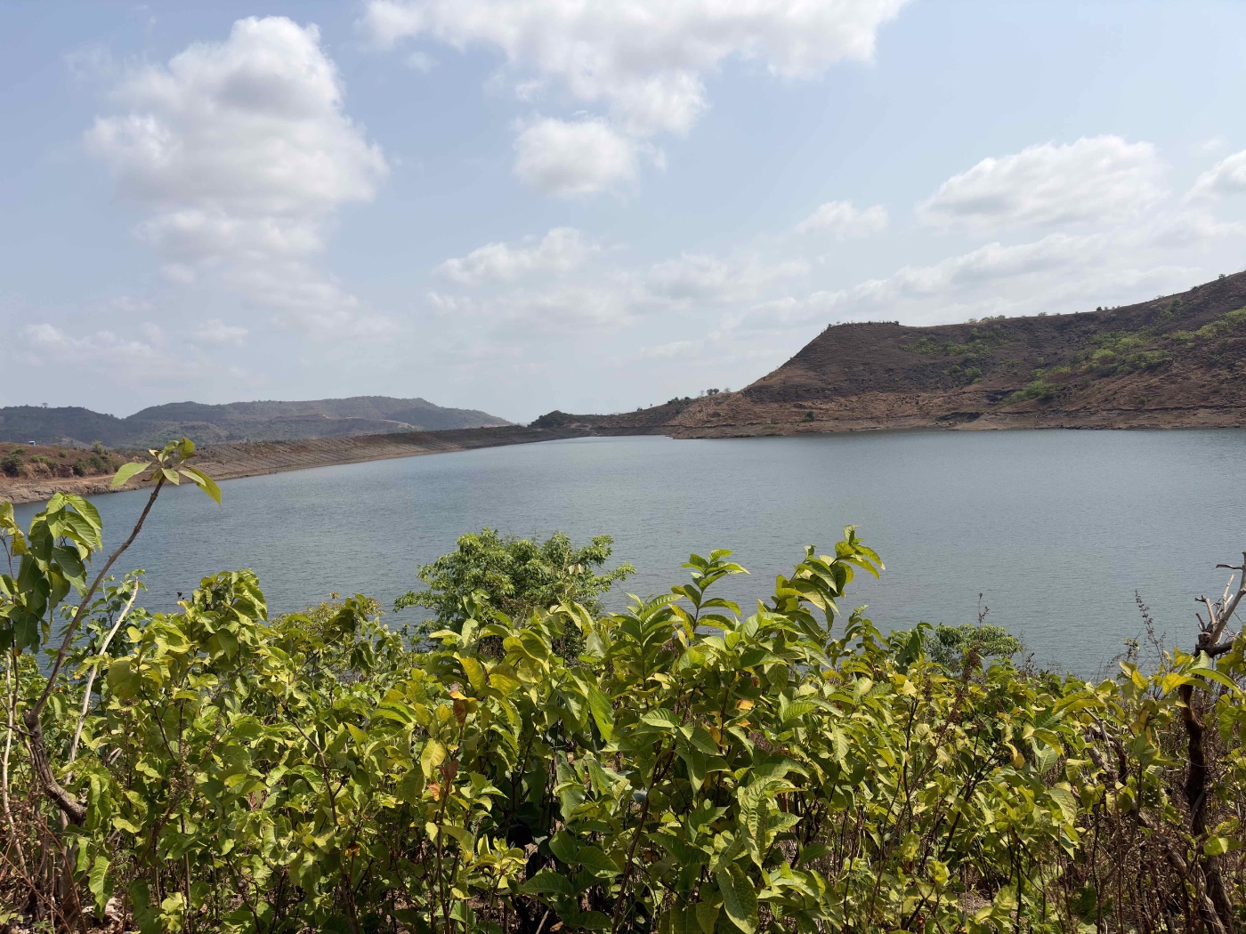
Easy dirt road through Diksal village, past Tatoba temple, out to Dhom Dam reservoir. Flat warm-up. This is where the actual trail begins — last spot to top up water from the village.
Dhom waterfall · the stream crossing
We circle around to Diksal Waterfall, then cross a small stream. The trail begins to lift gently here as we move out of the reservoir basin and into the lower scrub. First short break for photographs at the falls.
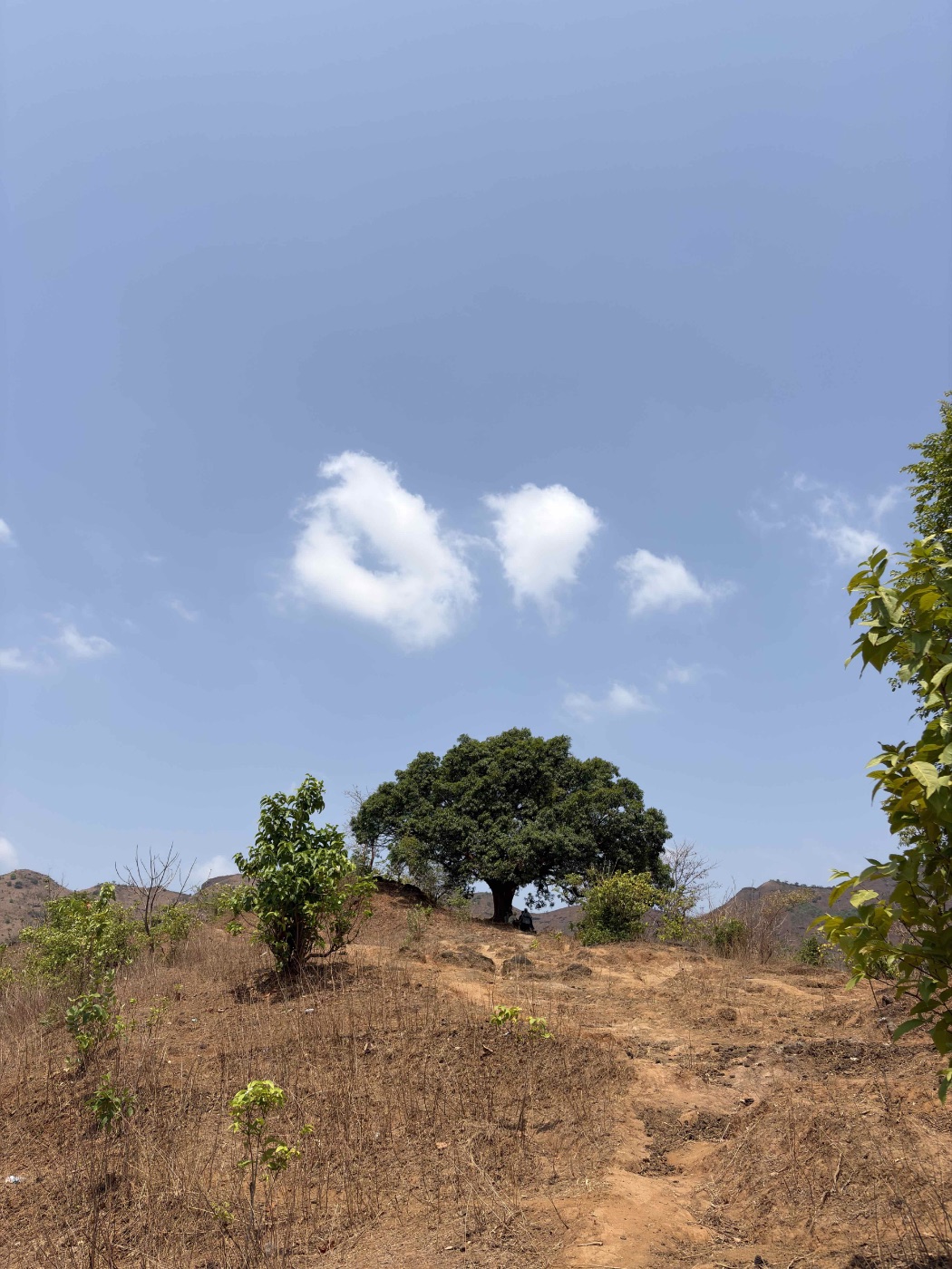
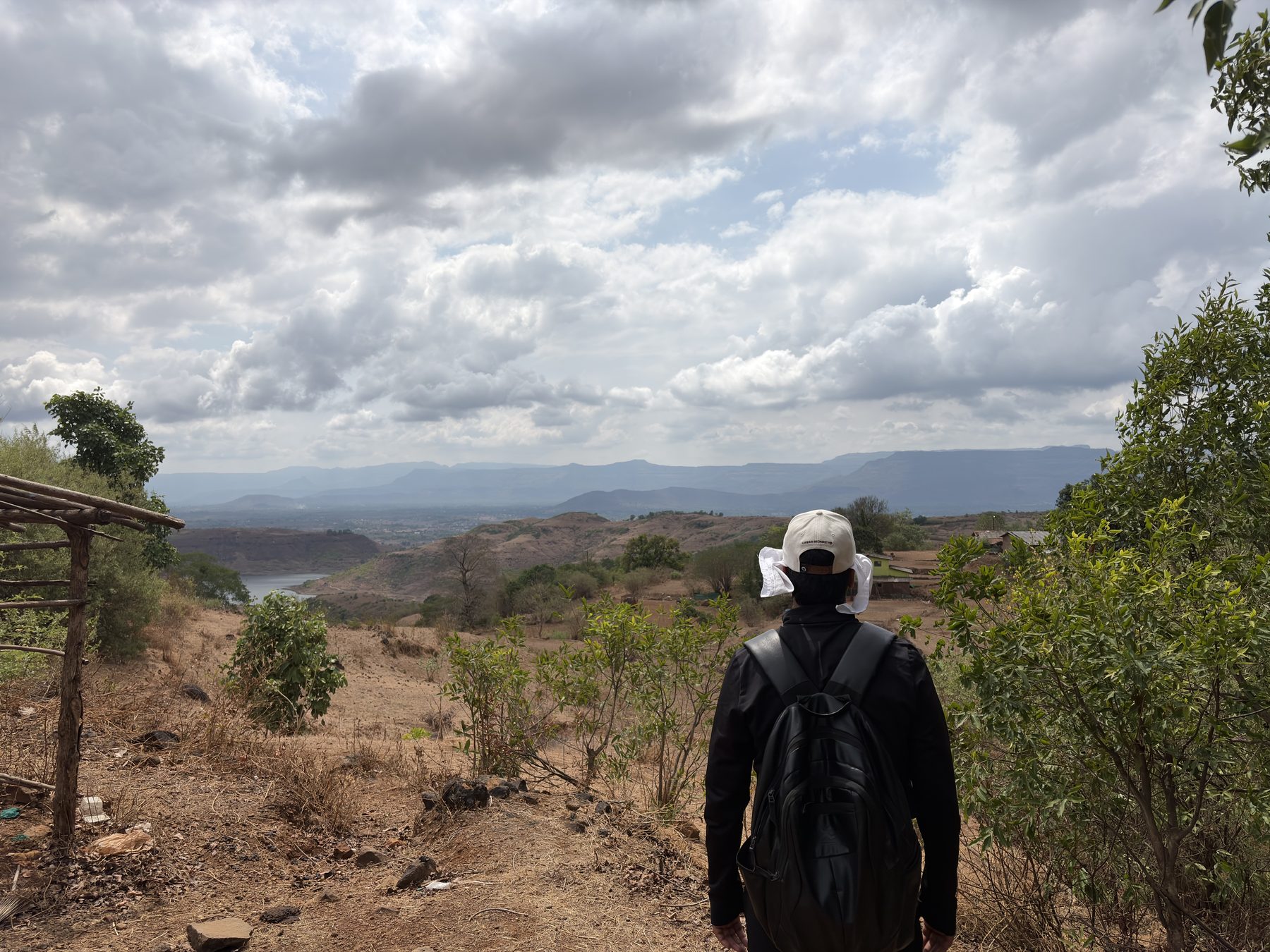
The old Mango Tree · ridgeline
The trail's first proper landmark — a lone mango tree marking the ridge. Good shade, good spot for a longer water and snack break. From here on, the path firms up and the gradient starts pointing upward in earnest.
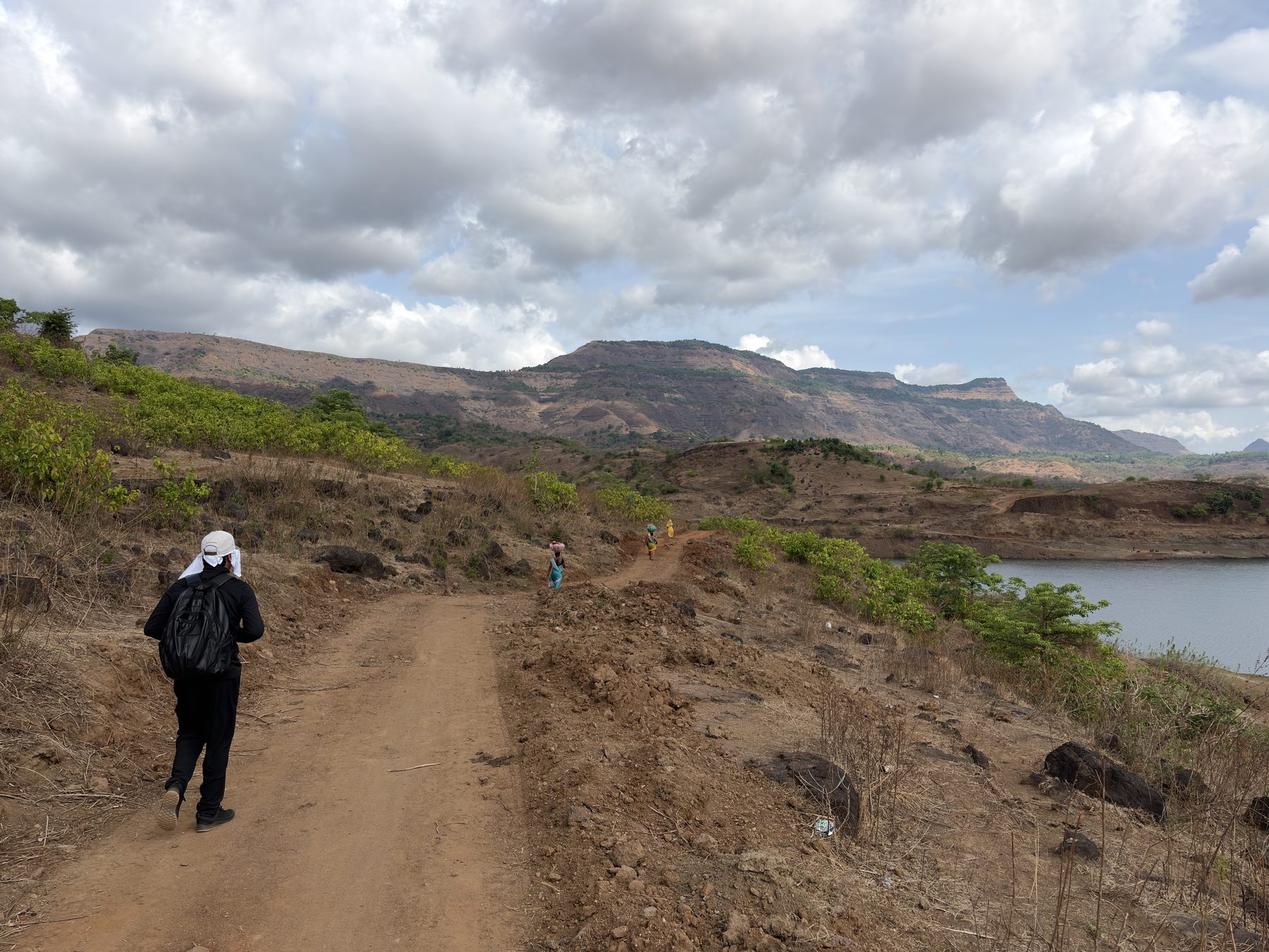
Sagachiwadi · paddy fields
A small hamlet wrapped in terraced paddy fields, sitting at roughly the halfway mark. Last reliable water refill on the route. Brief stop — we don't linger; the plateau push is next and you'll want fresh legs.
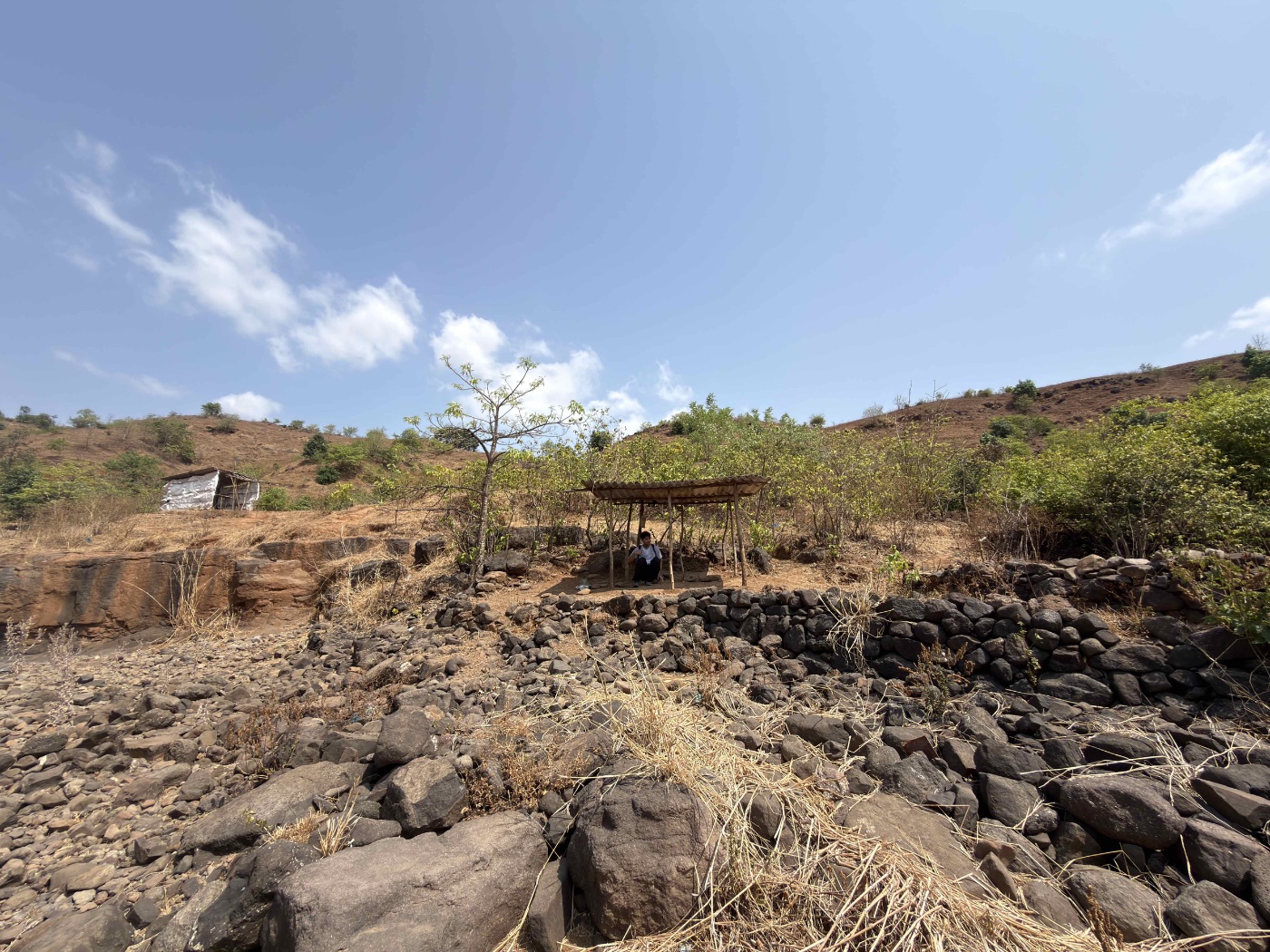
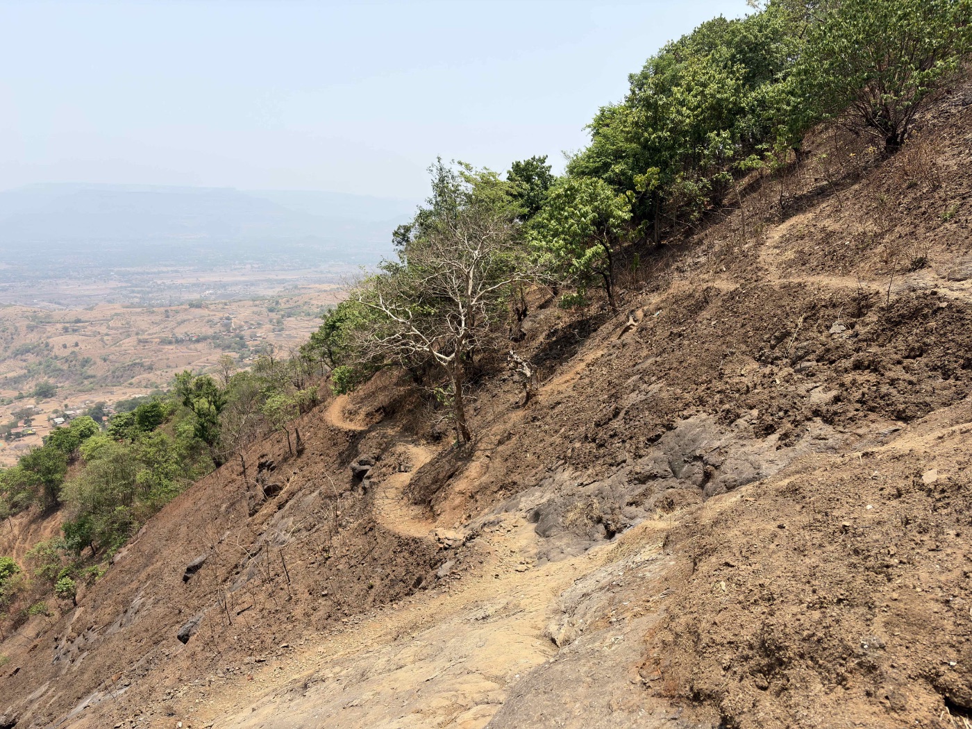
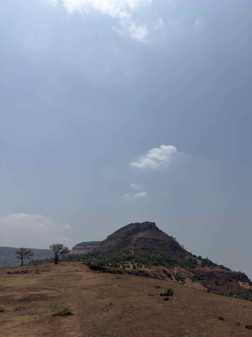
The plateau push
The hardest 30 minutes of the day. Steep, loose underfoot in places, switching back up onto the plateau itself. Slow and steady — no rush, the view at the top isn't going anywhere. Trekking poles help here if you have them.
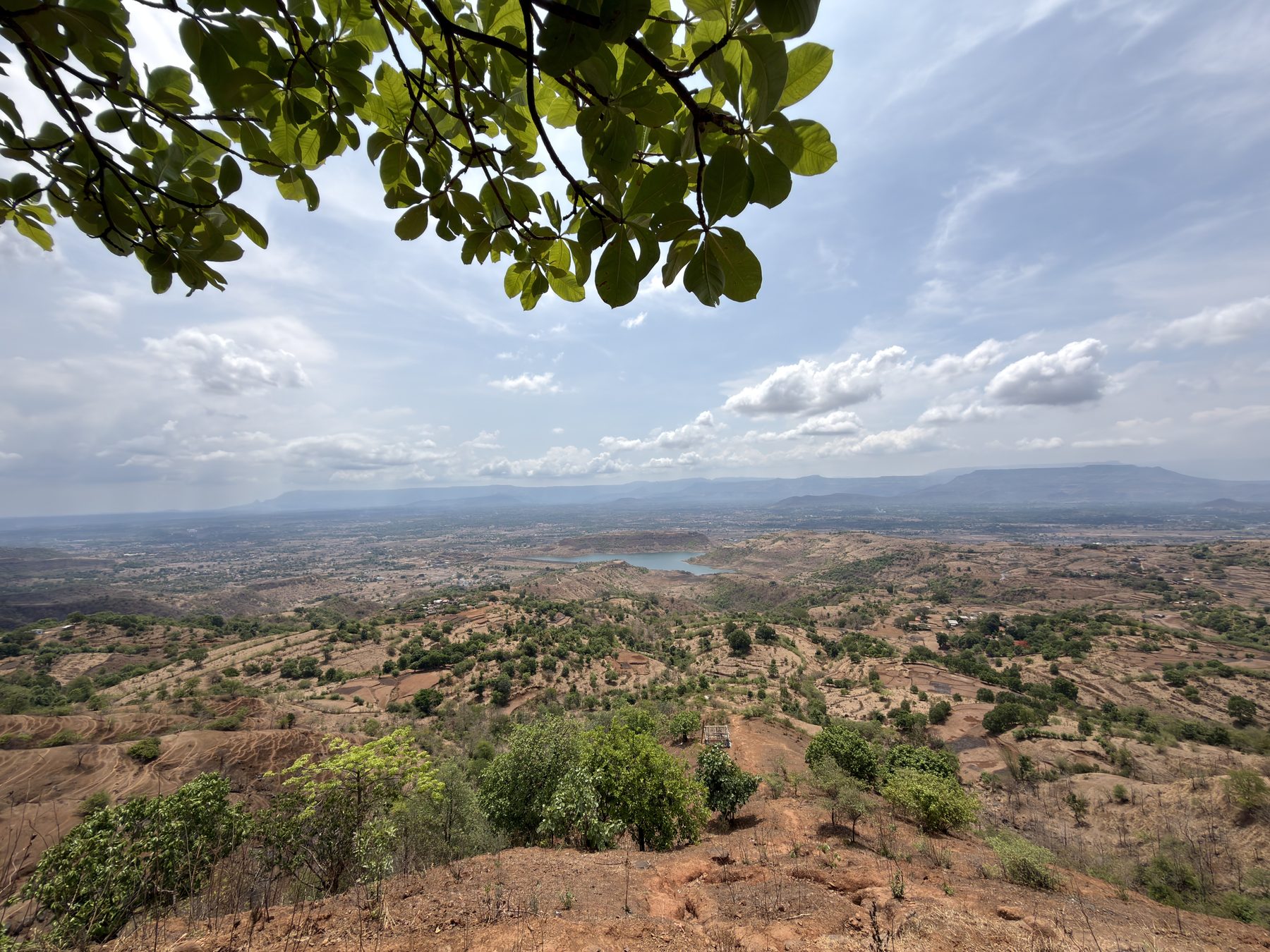
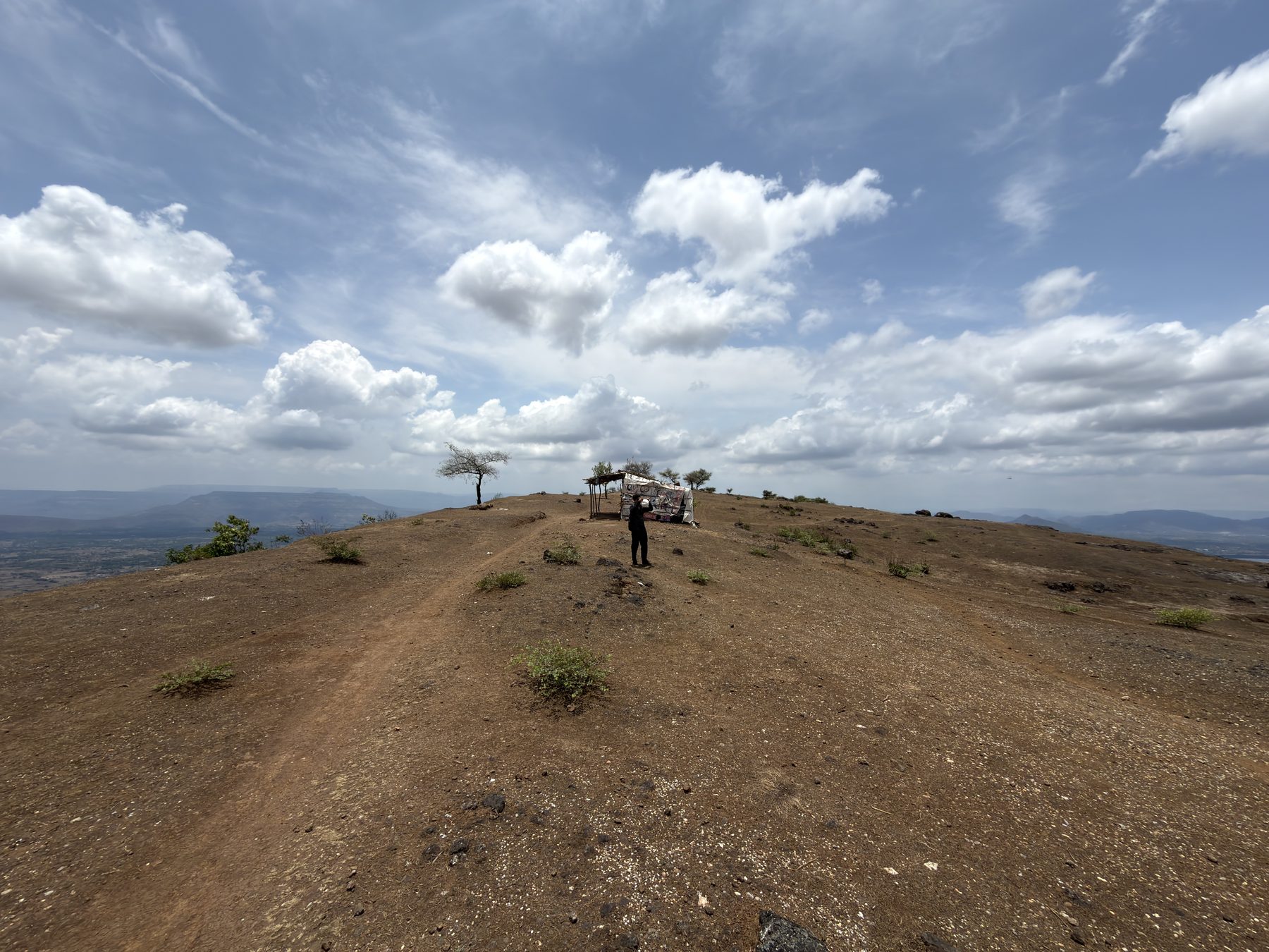
Garbett Point · lunch · the 360°
The prow of the plateau. Full 360° of the Sahyadris — Matheran ridge to the north, Karjat valley to the south. Lunch from packs, photographs, a proper sit-down. The day's whole point.
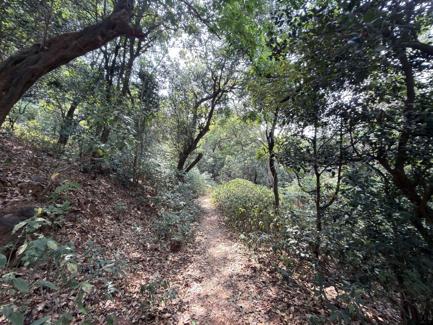
Forest trail into Matheran
Narrow shaded path under the canopy — a complete change of character from the open plateau. The trail drops us into Matheran near Aman Lodge. Trek officially ends here. From there, you either head into Matheran town or take the shared cab down to Neral.
Bring exactly this. No more, no less.
A light pack moves better. The plateau push punishes overpacking — every extra kilo gets noticed somewhere in those switchbacks.
Wear
- Trekking shoes with grip
- Quick-dry full-sleeve top
- Track pants or trousers
Carry
- 3 litres of water
- 2 × electrolyte sachets
- Trail snacks · nuts, bars, fruit
- Light raincoat
Don't
- No single-use plastic
- No cliff-edge selfies
- Don't underestimate the heat